ANalysis
Enhancing an Annual Publication
The Rhode Island Zoning Atlas is already playing a role in discussions about housing affordability across the state—in Kent County and beyond. Its insights played a crucial role in the “Fact Book” published annually by HousingWorks RI at Roger Williams University, a key National Zoning Atlas partner.
HousingWorks RI said that its “important work” with the National Zoning Atlas combined with its other modes of analysis to offer a “holistic view of housing as an indicator of both individual well-being and emergent community challenges.”

A page out of HousingWorks RI’s 2023 “Housing Fact Book” featuring statistics informing the community’s housing stock and zoning compliance.
A Deeper Regional UNderstanding
The Virginia Zoning Atlas, lead by a team of policy experts at HousingForward Virginia, debuted the first leg of their atlas alongside a comprehensive analysis of zoning’s impact in the Hampton Roads coastal region.
The team compiled a repository of tables, maps, graphs, photographs and textual descriptions that reveal majority of the region’s developable land is dedicated to single-family, detached homes in residential-only districts — even in non-rural, downtown settings. Additional analysis addressed the zoning’s relationship to transit access and need for affordable housing.

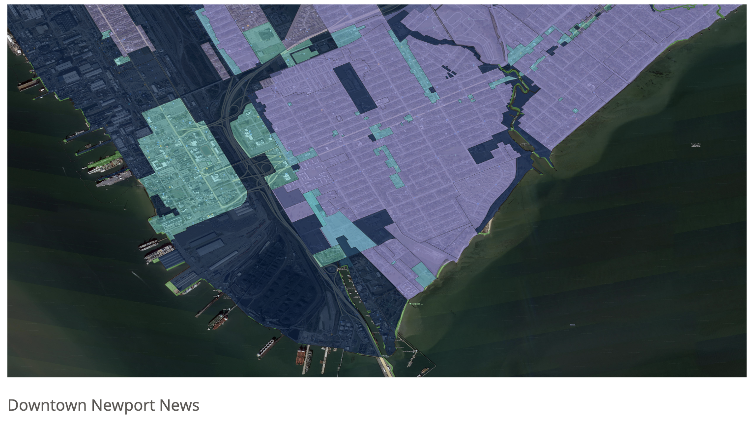
Zoning district types hyper-imposed over satellite imagery encouraging the use of mixed-use zoning (in light blue) in downtowns, courtesy of HousingForward Virginia.